
3D Laser Scanning the Historic Laramie Railroad Depot
Published:
On April 17, 2024, our team from the Construction Research and Innovation Lab conducted a comprehensive 3D scan of the historic Laramie Railroad Depot, a century-old structure listed on the National Register of Historic Places.
The goal of the project was to create a highly detailed digital record of the building’s interior and exterior to support long-term documentation and preservation efforts.
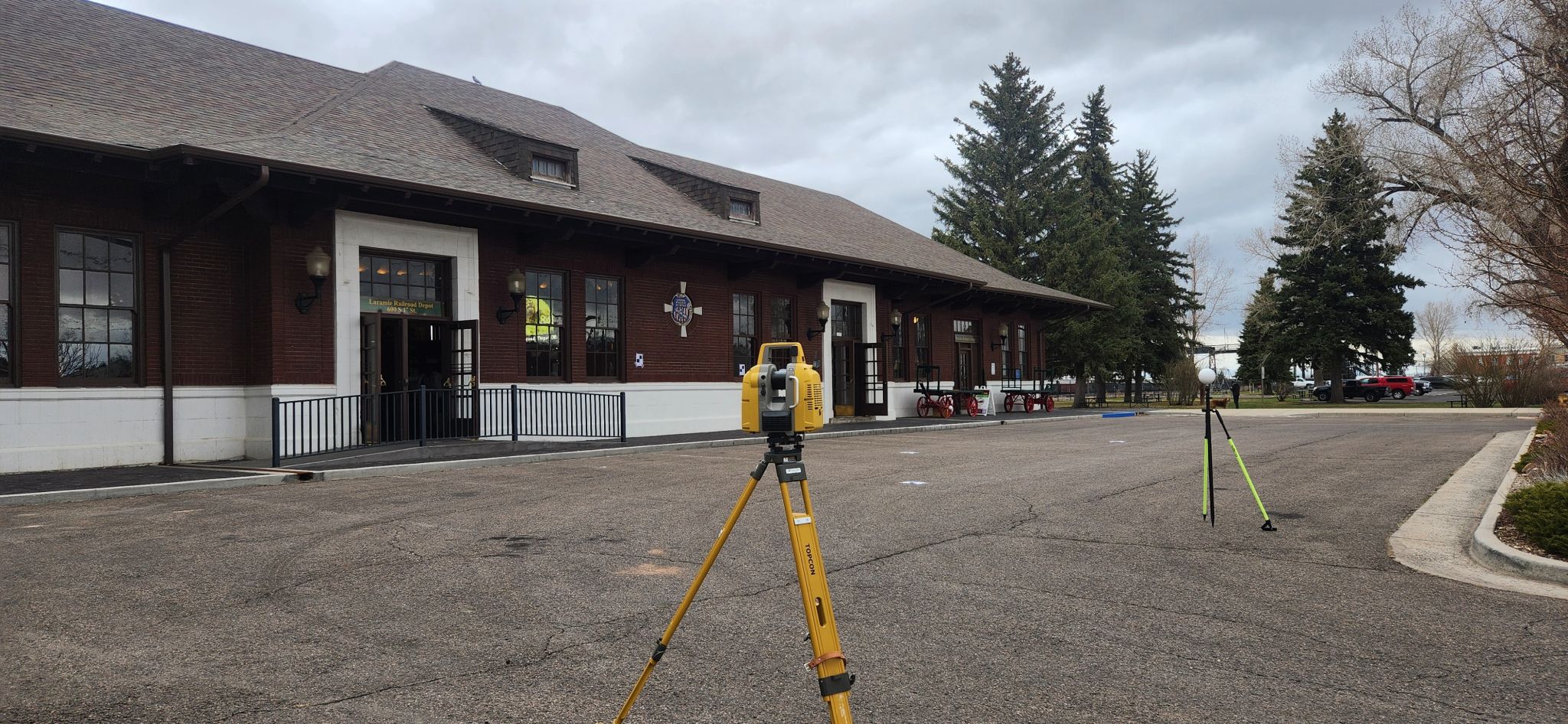
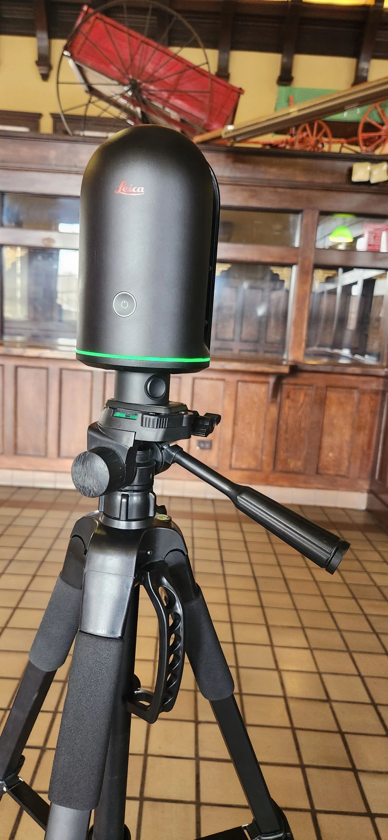
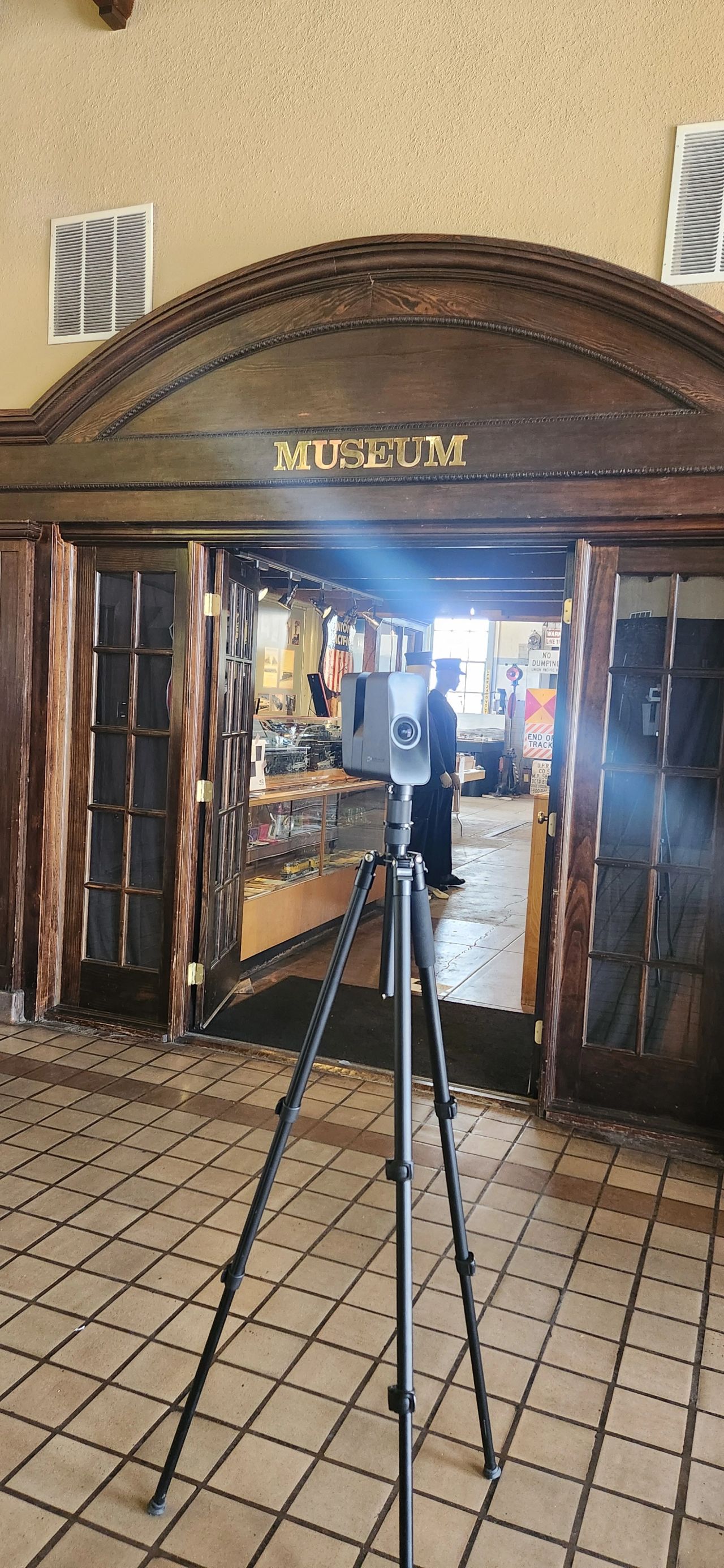
We used multiple reality capture technologies to ensure complete coverage. The Topcon GLS-2000 was used for large-scale, high-accuracy terrestrial scanning, capturing both interior and exterior geometry. The Leica BLK360 and Matterport Pro3 provided additional interior detail and immersive spatial documentation. Together, these systems allowed us to record architectural features from multiple perspectives.
I worked primarily with the Topcon GLS-2000 to ensure comprehensive spatial coverage of the building. My labmates contributed across different capture systems, and the project was carried out under the supervision of our advisor and principal investigator, Charlie (Chengyi) Zhang, Ph.D., P.E. Support from collaborators and funding partners made the fieldwork possible.
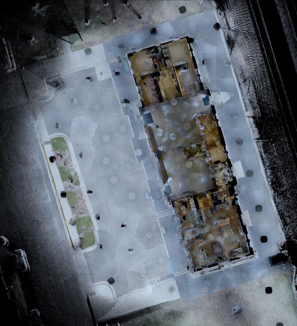
After data collection, the scans were processed and registered into a unified point cloud model, creating a precise digital representation of the depot. This digital model serves as a long-term record of the structure and provides a foundation for analysis, visualization, and future preservation initiatives.
Projects like this demonstrate how advanced measurement technologies can play a meaningful role in heritage conservation. It is rewarding to contribute to work where engineering tools support the preservation of historically significant spaces.
Photo Gallery
Leave a Comment