
Documenting a 133-Year-Old Carving in the Thorofare
Published:
In early October 1893, a survey crew was deep in the mountains of what is now the Shoshone National Forest, mapping the boundary of the country’s first protected forest. A snowstorm caught them and would not let up for days. Stuck in a meadow near Younts Creek with nothing to do but wait, they carved their names into the trees around their camp. One of those carvings is dated October 3, 1893. About 133 years later, those trees are still standing in one of the most remote corners of the lower 48, an area known as the Thorofare, though old age and the beetles that have worked through this forest are slowly taking them apart. Our job was to reach the site and record the inscribed trees with 3D laser scanning before they are gone for good. What I did not expect was that getting to them would turn into one of the hardest and most memorable trips of my life.
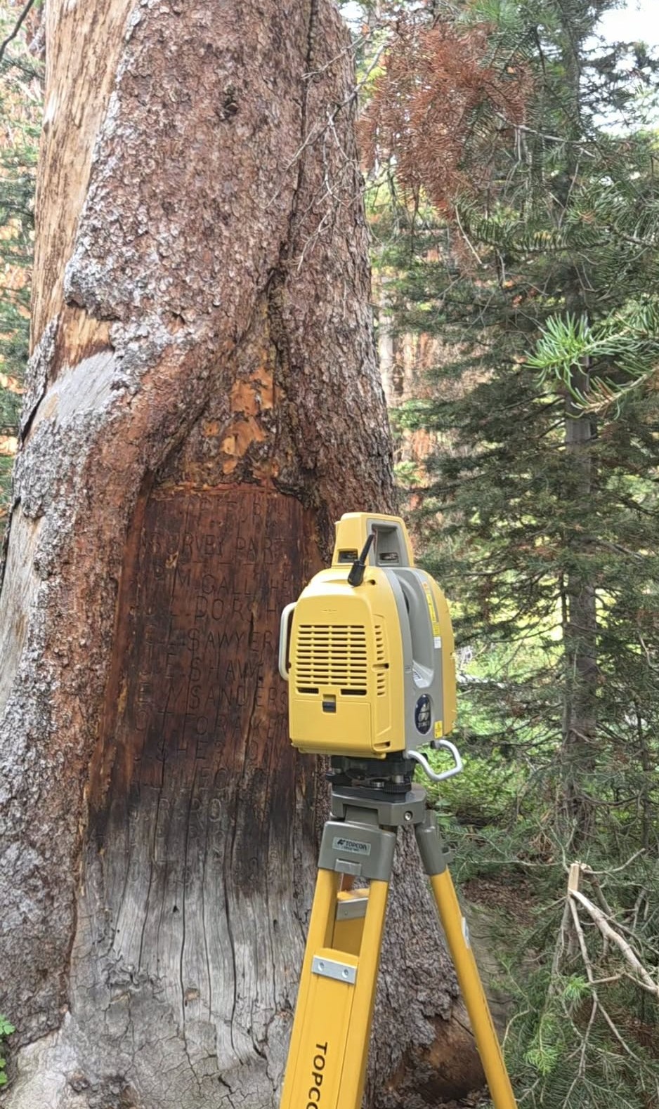
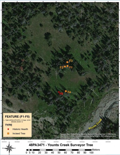
Scanning the 1893 inscription with the Topcon GLS-2000, and the tree in its setting. Second photo courtesy of Lawrence Todd.
We had tried to make this trip once already, back in July 2026. We made it as far as Cody, but nature had other plans. It had been raining in the forest for a week, and the trails had washed out in many places from the flooding, so we called it off. The second chance came after a month, and that time we made it all the way in.
We left Laramie on August 6 and drove up to Cody, where we spent the night before heading out early the next morning. The team going in was my advisor Dr. Charlie Zhang, my colleague Saksham Timalsina, and me, along with Prof. Marcia Peterson, the Wyoming State Archaeologist (also the Adjunct Professor of Anthropology at the University of Wyoming), who joined us at the trailhead to help document the site properly given its historical significance. Taking us in and back out was Lee Livingston of Livingston Outfitting, the outfitter the Park Service had picked for the job, and simply the best in the business at what he does.
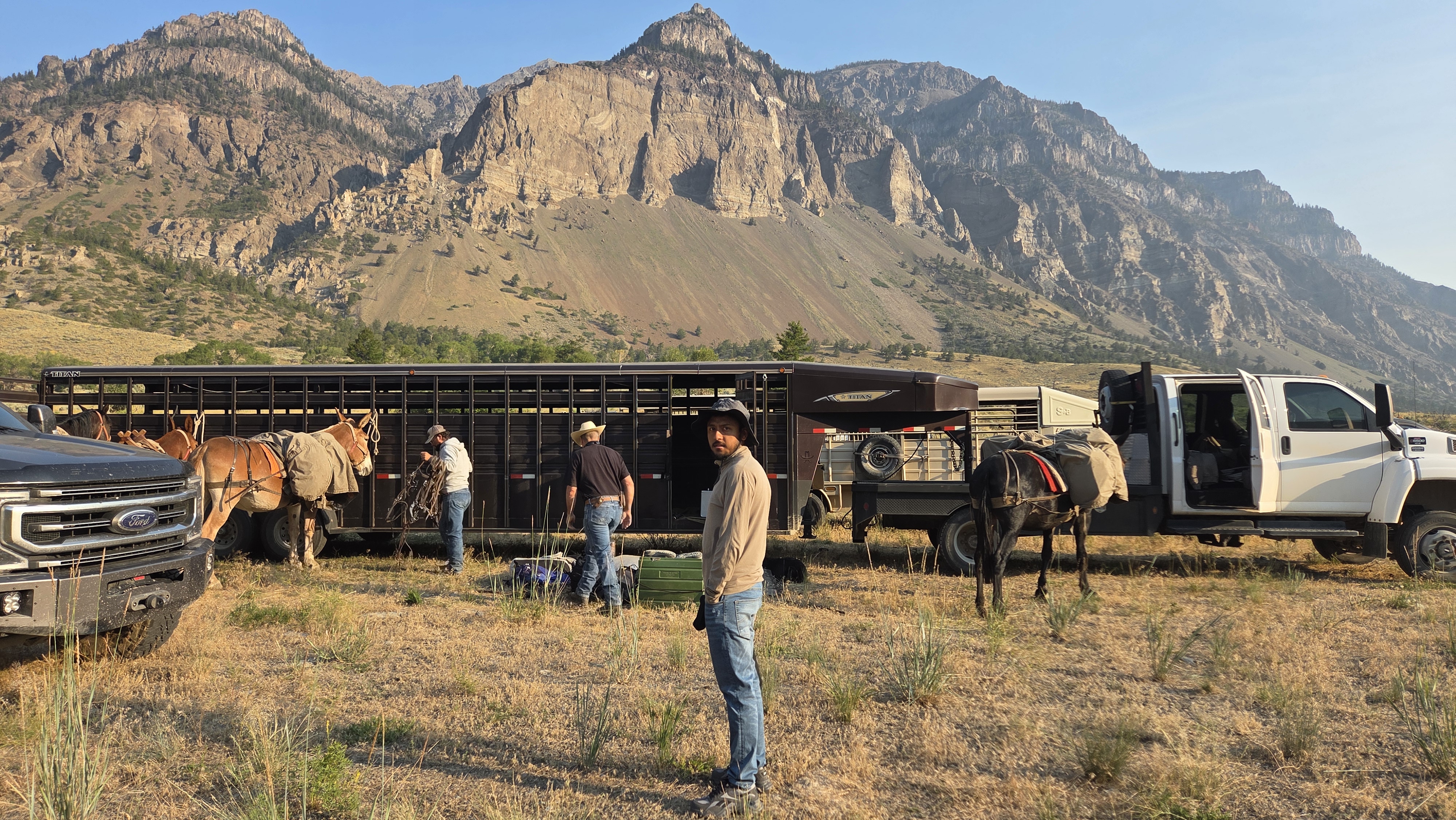
Packing the mules and getting ready.
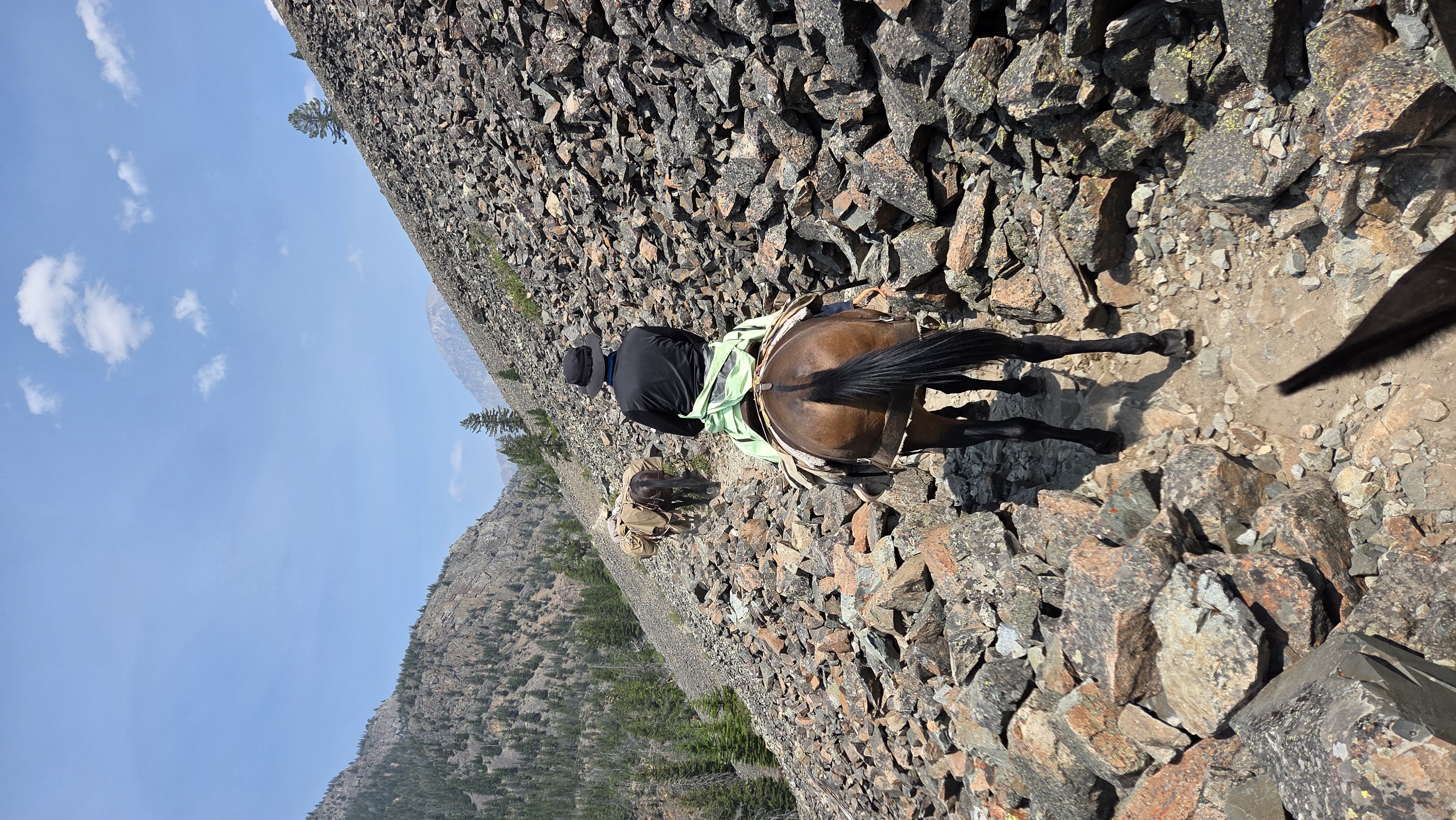
The ride in was eighteen miles, one long stretch in the saddle with just a single break for lunch. We crossed rivers and open flats, climbed long stretches and dropped down the other side, going deeper into the mountains with every mile, and in places the trail ran through loose rock and landslide ground. Crossing the rivers, looking up at the mountains sitting far off in the distance, was a feeling hard to put into words. For long stretches, it was just us, the animals, and country that felt like nobody had touched it in a very long time, quiet except for hooves on rock. Even so, the land carried its scars, most of the forest having burned at some point and never grown back, the old fire marks running across everything that was still standing. We had lost cell signal not long after leaving Cody, and it would be five days before we had it again, the Park Service’s satellite phone and solar charger our only real link out.
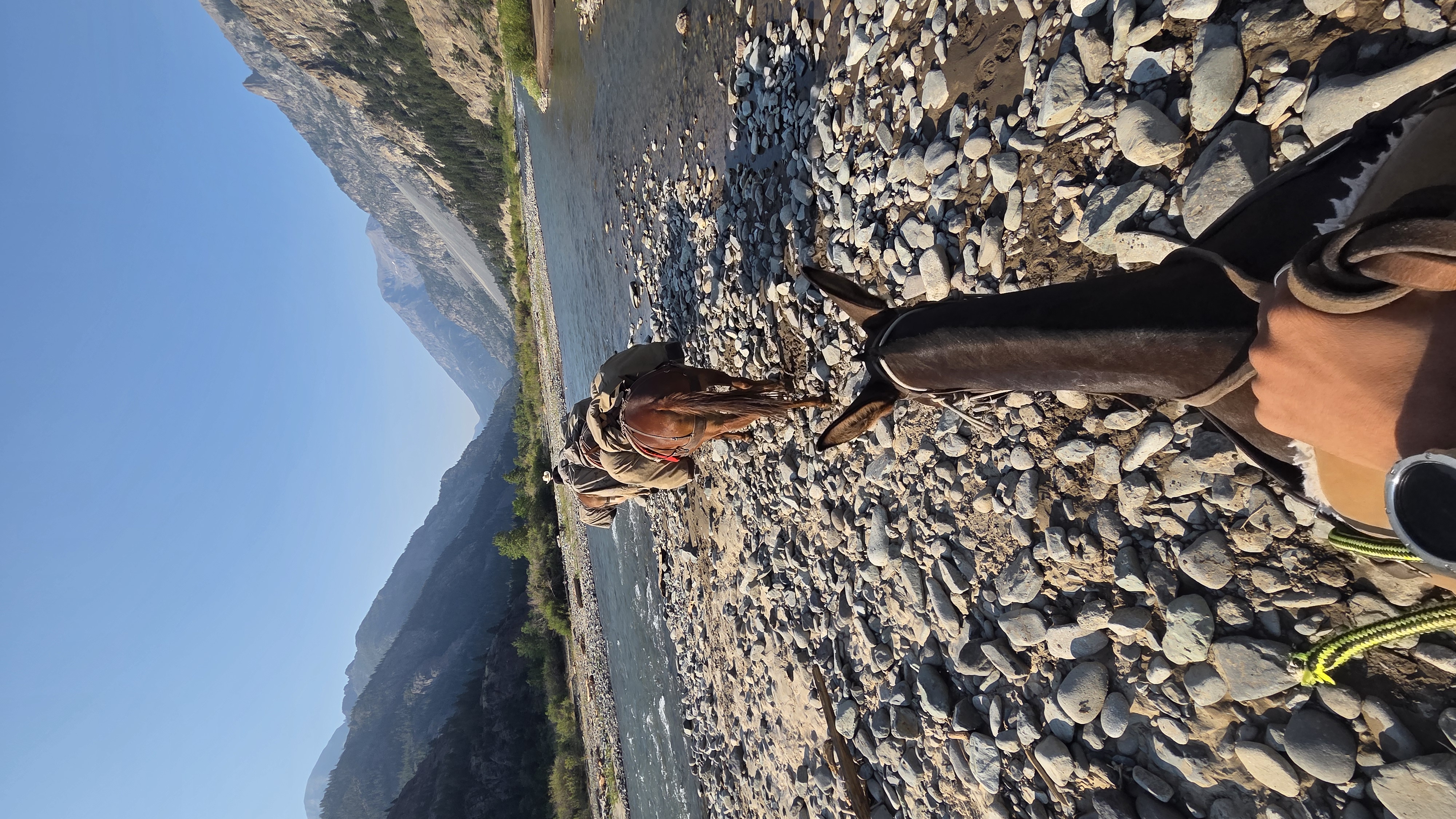
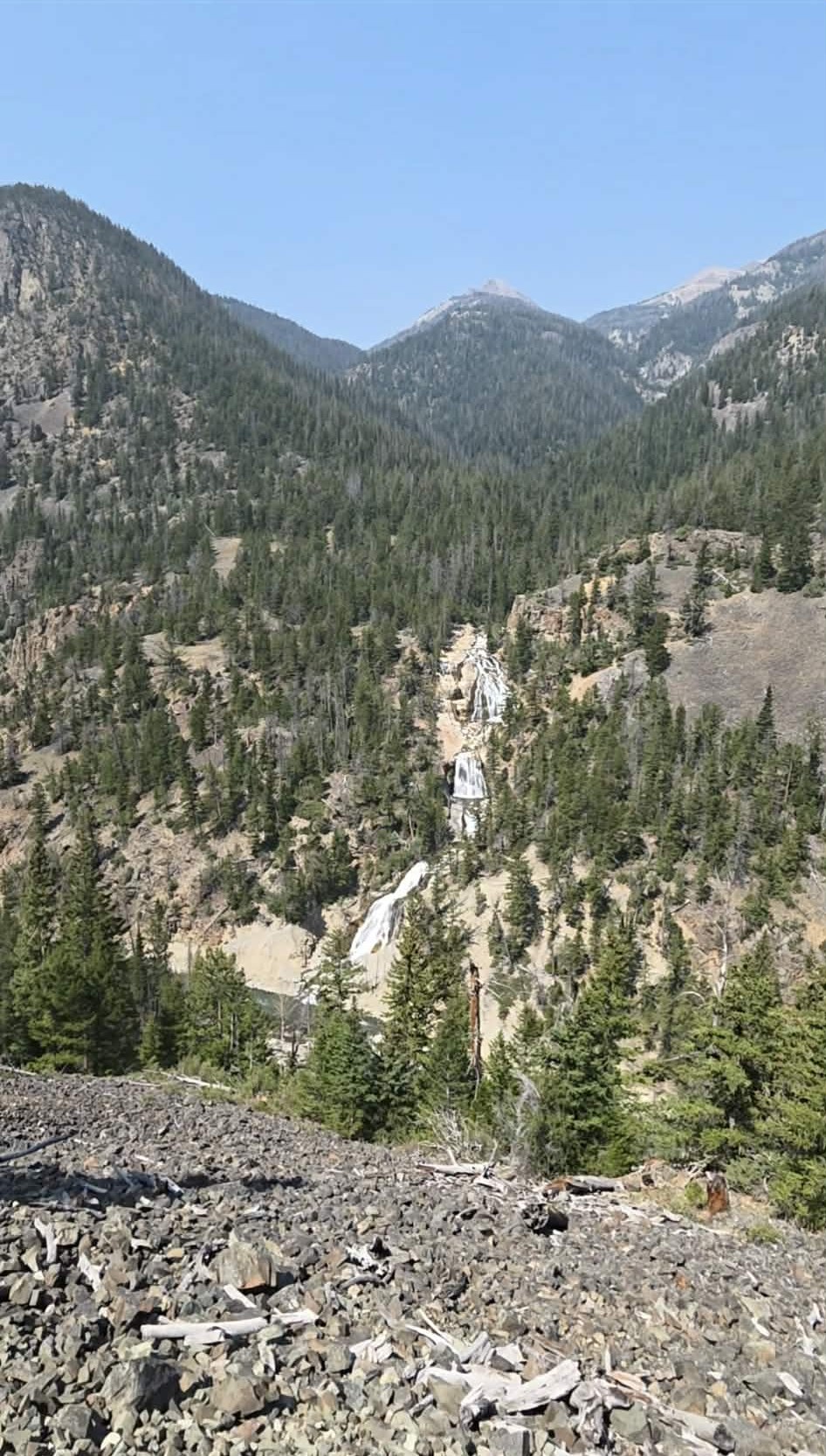
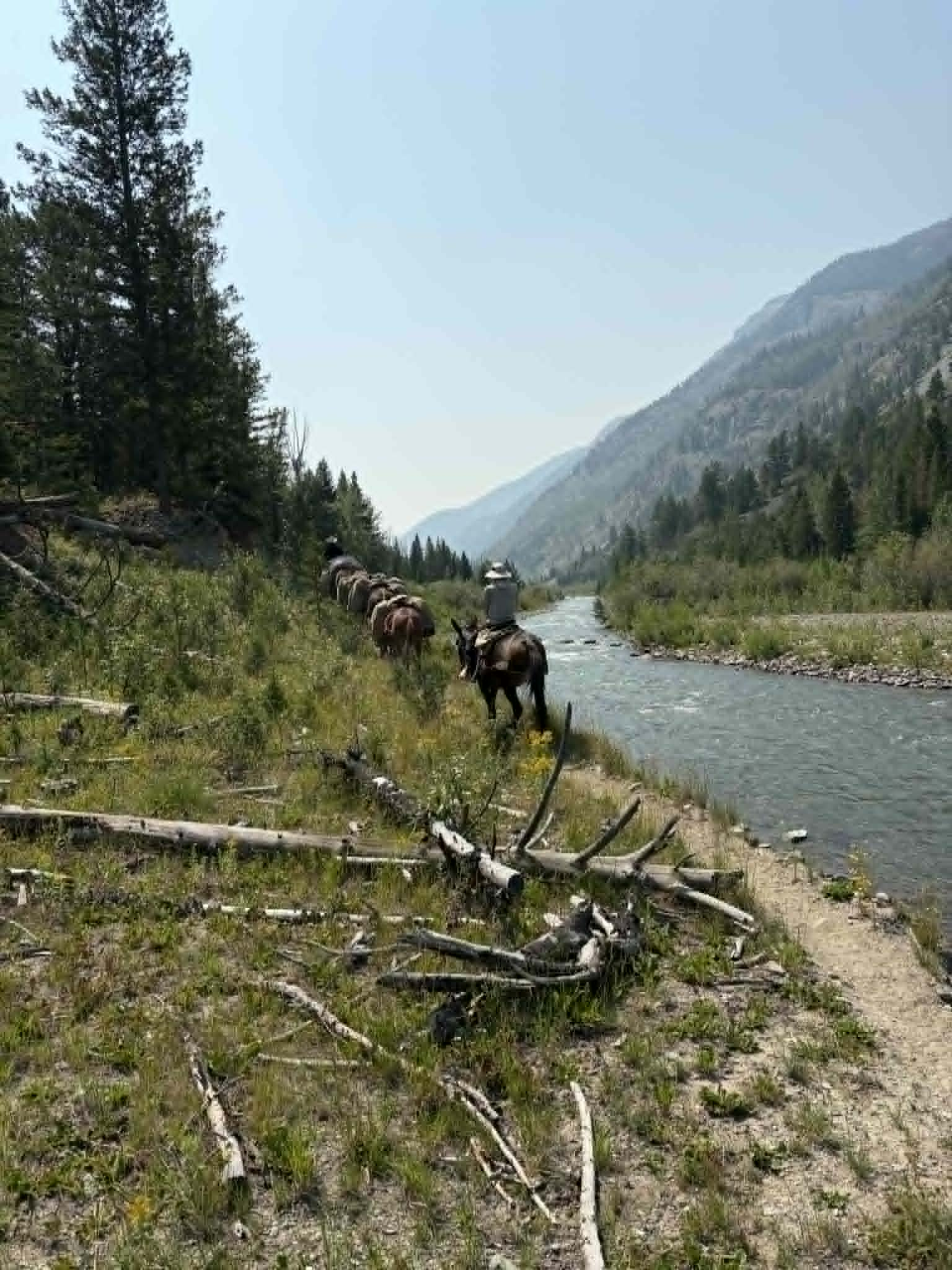
Crossing the river, the waterfall we passed along the way, and almost to the campsite.
We reached the camp on the meadow by the South Fork Shoshone River in the late afternoon, where we met Mark’s family, another camping group out there, and the rest of Lee’s crew. We got off the mules and looked around the camp and the area around it. I was thirsty from the ride, and right there at camp was a spring, water coming straight up out of the ground. I drank from it right where it came out. Then I went down to the river and got in. It was ice cold, but it felt good after a hot, dusty day.
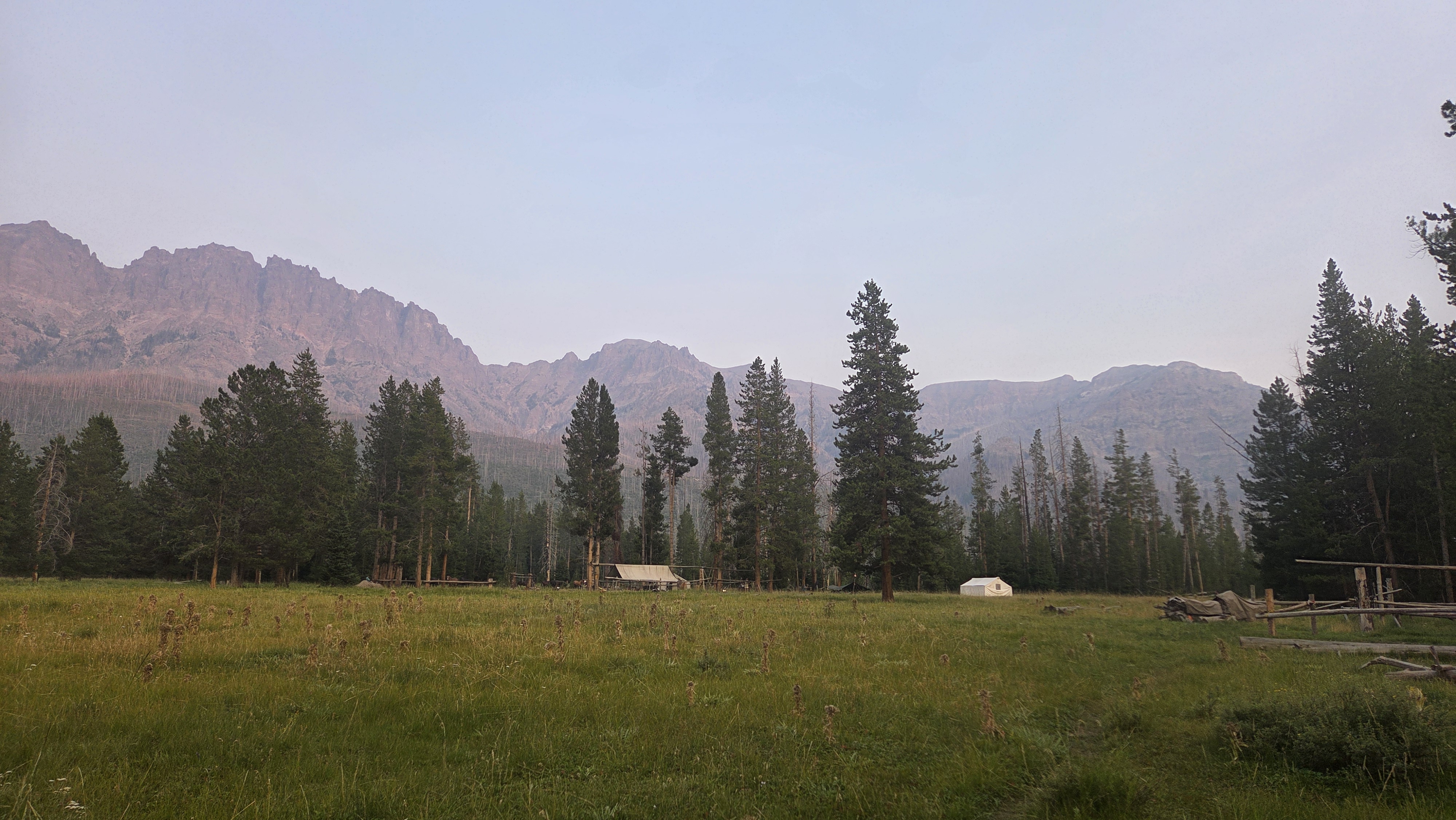
Camping on the meadow South Fork Shoshone river.
The real work came on August 8, when we left the camp at 8 AM and rode about five more miles toward Younts Creek, and this turned out to be the hardest part of the trip, and the best. Lee led the way on his horse, three pack mules carrying our equipment tied behind him, all four moving as one line ahead of the rest of us. Mark rode at the back of the group, but whenever something on the trail needed clearing, he’d move up and take care of it. The trail here was rougher than the day before, cutting through dense forest that nobody had ridden in a long time, thick timber with fallen trees blocking the way in places, some of it cleared as we went. Parts of the trail ran high along a steep gorge with Younts Creek running fast through the bottom of it, and on the worst downhill stretches, right along that edge, we got off and led the mules.
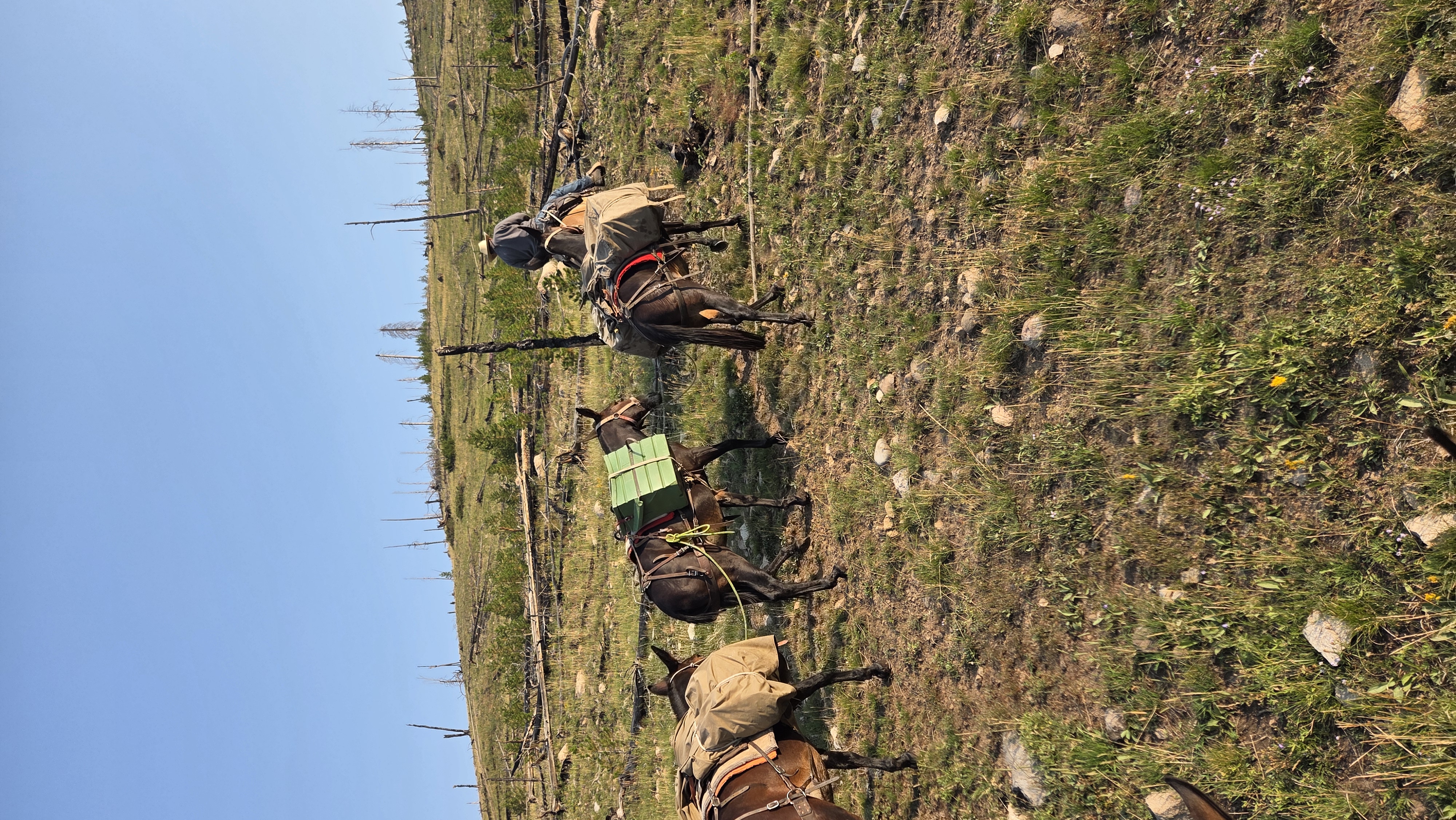
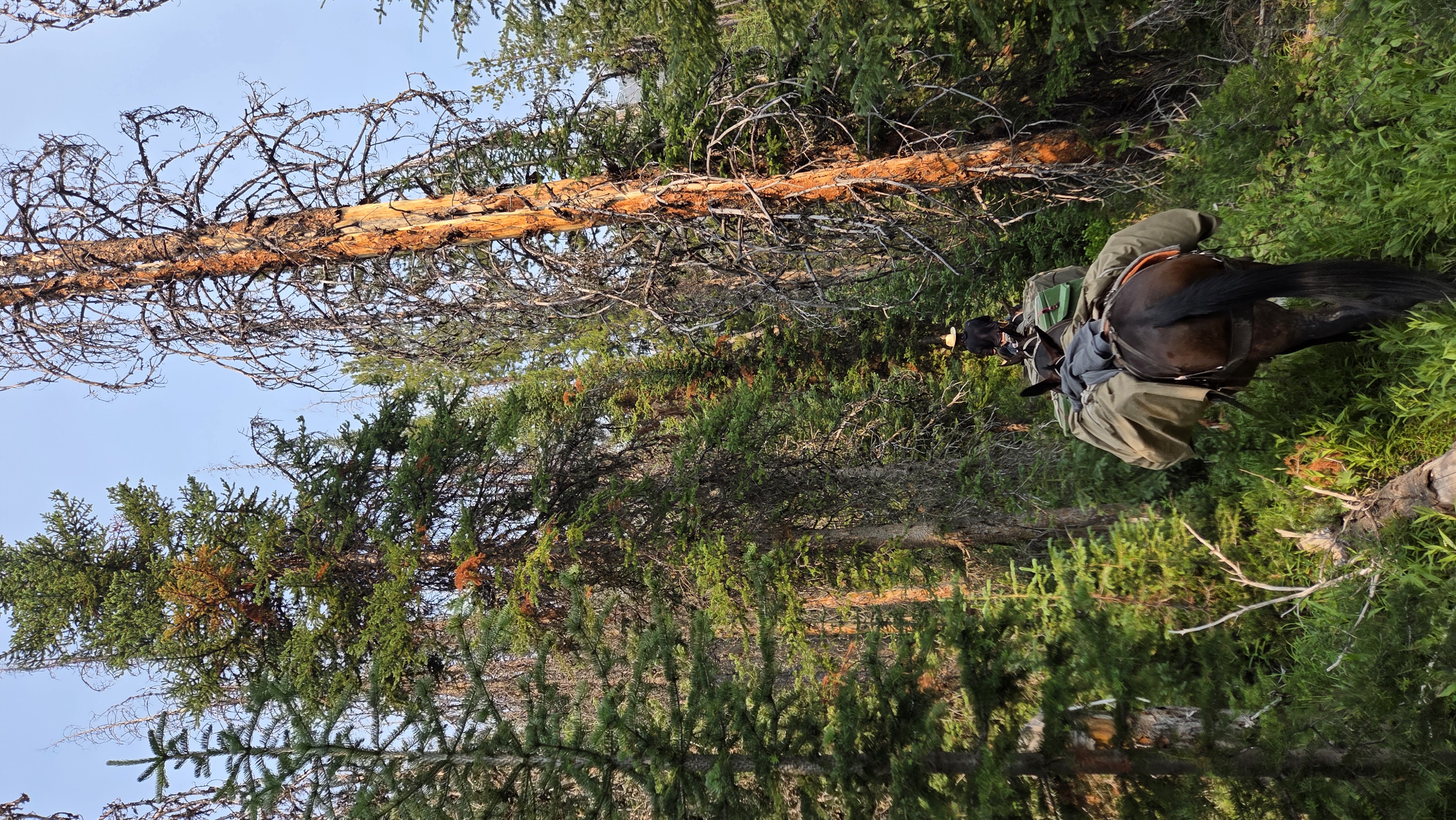
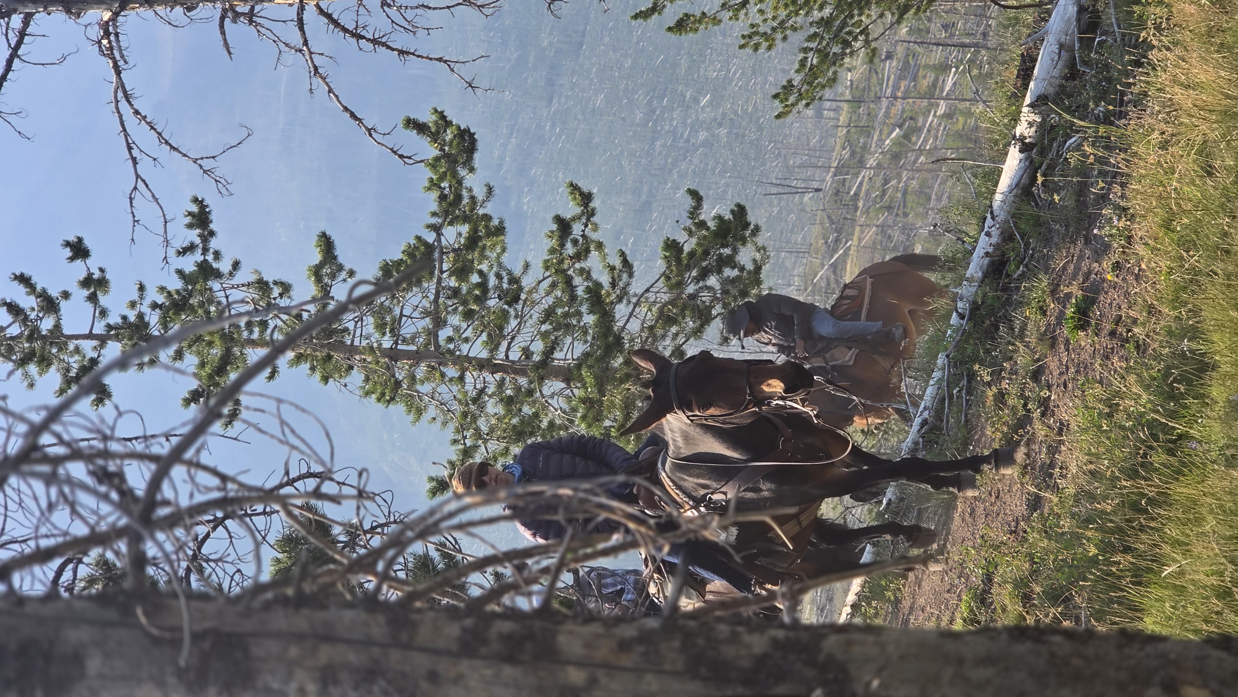
Lee leading the way uphill, and the dense timber we rode through.
We reached the site around 11:30 AM and started scanning by noon. On paper the trees had looked simple, but in person they were anything but. They stood crowded among other trees and thick brush, which made getting a clean scan from the right angle a constant fight, and smoke hanging in the air that day threw off some of the scans on top of that, so we had to run several of them again. One tree had fallen and was badly damaged, and another still held its carving but had faded past reading. The 1893 tree was the clearest and best preserved of the four. We scanned with a Topcon GLS-2000 and a Leica BLK360, checking the data right there in the field instead of trusting it to hold until we got back. By 5 PM we had everything we needed and started the ride back, three hours of it, chasing the last of the light. The tree site sat close to 7,000 feet and camp near 5,000, so most of the way down we were walking the mules again, working our way along the ridge above Younts Creek with the cliffs dropping straight down beside us. We got in just as it was getting dark.
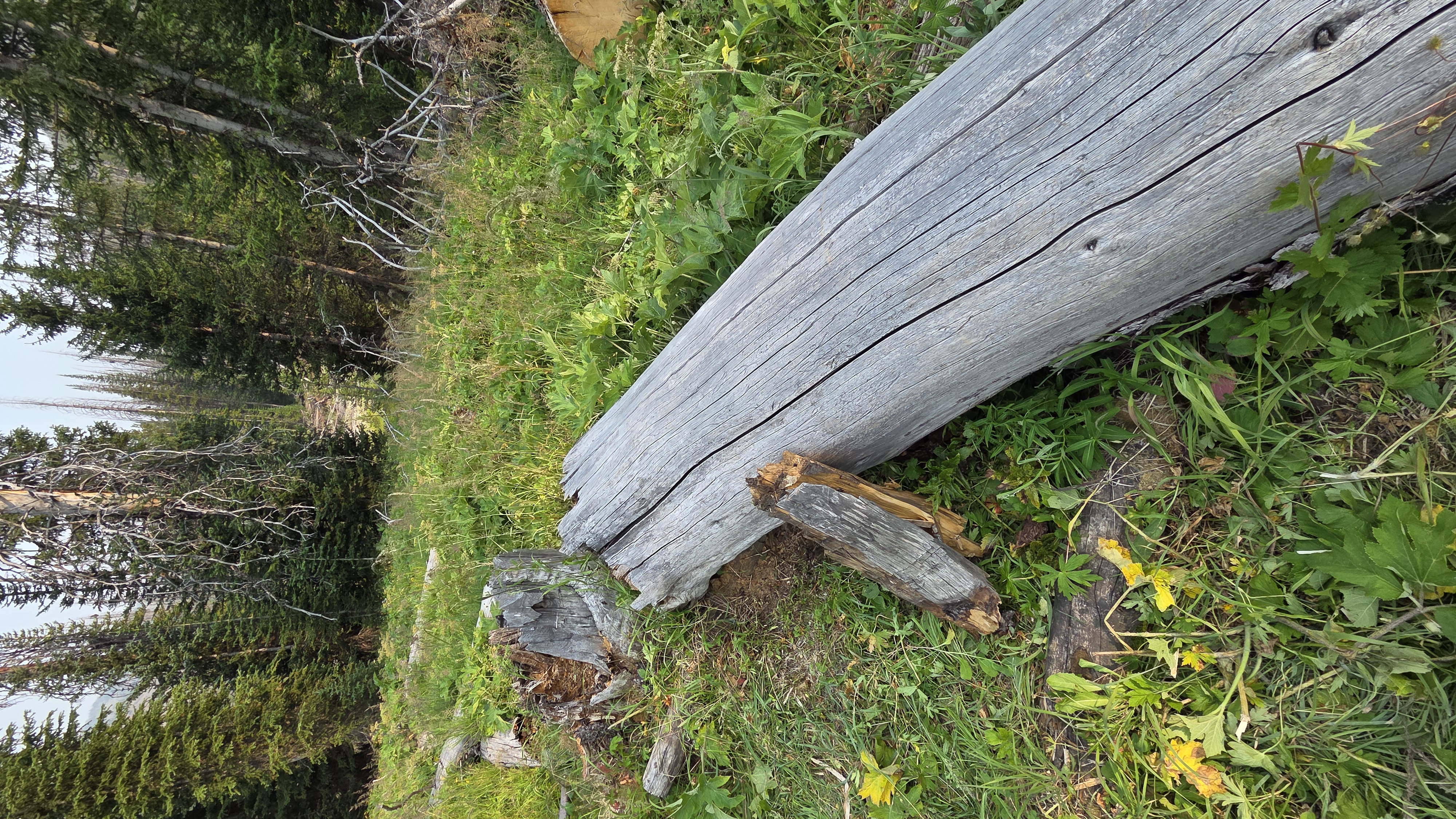
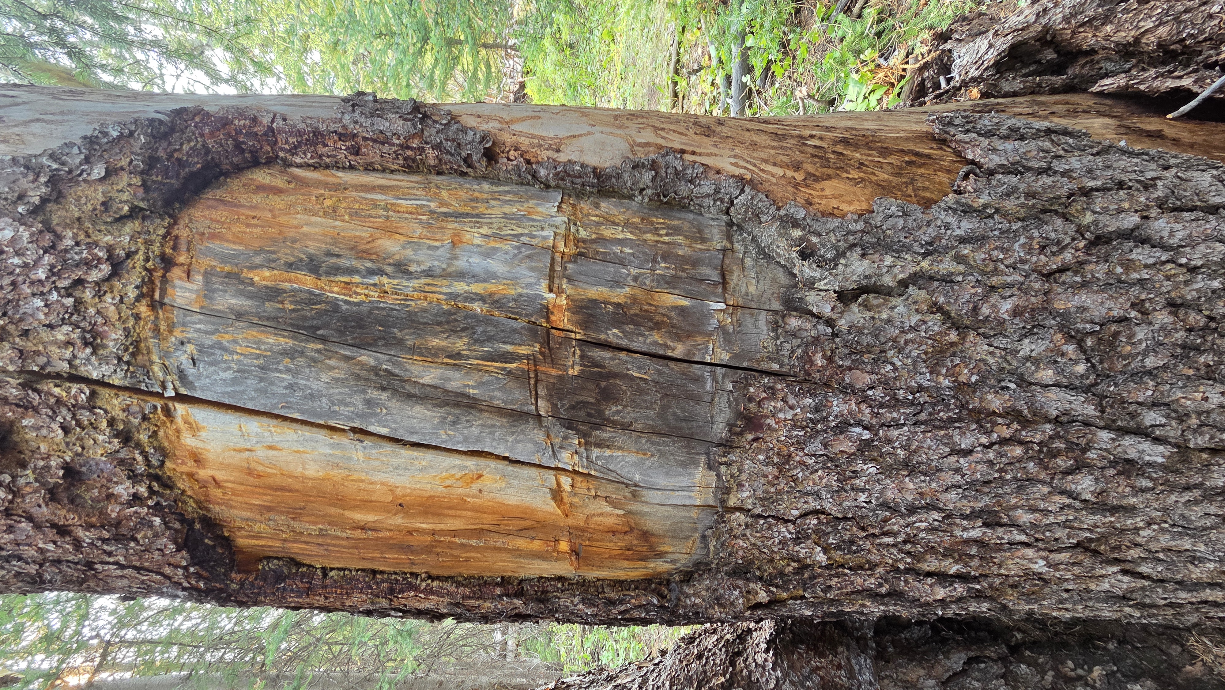
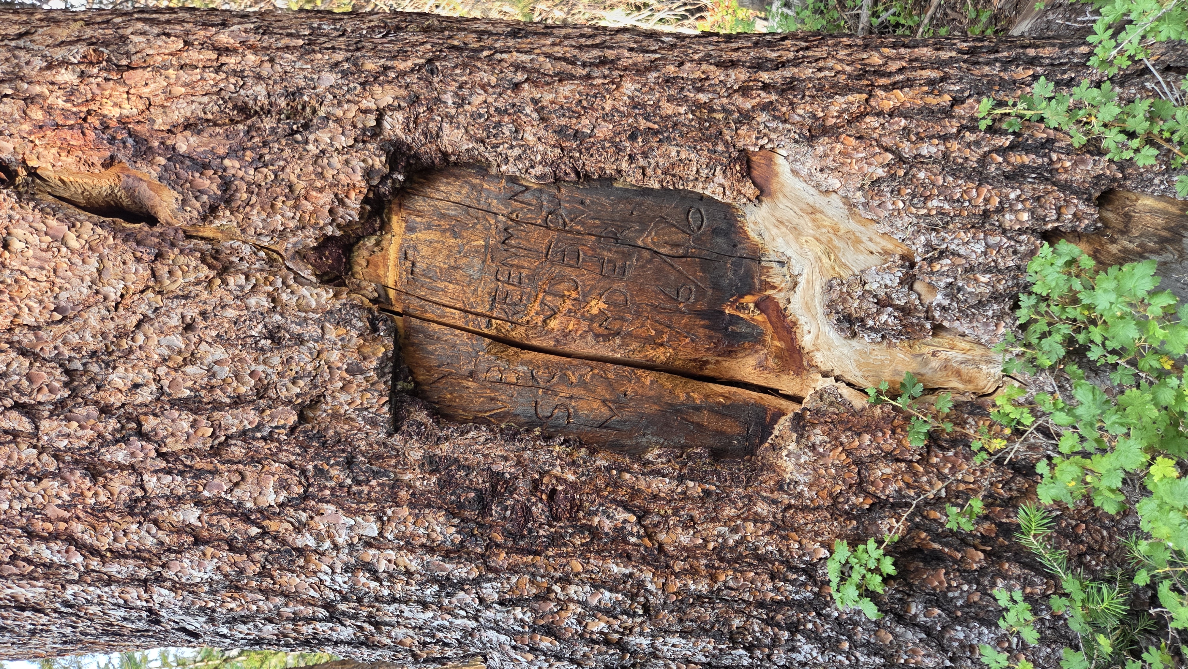
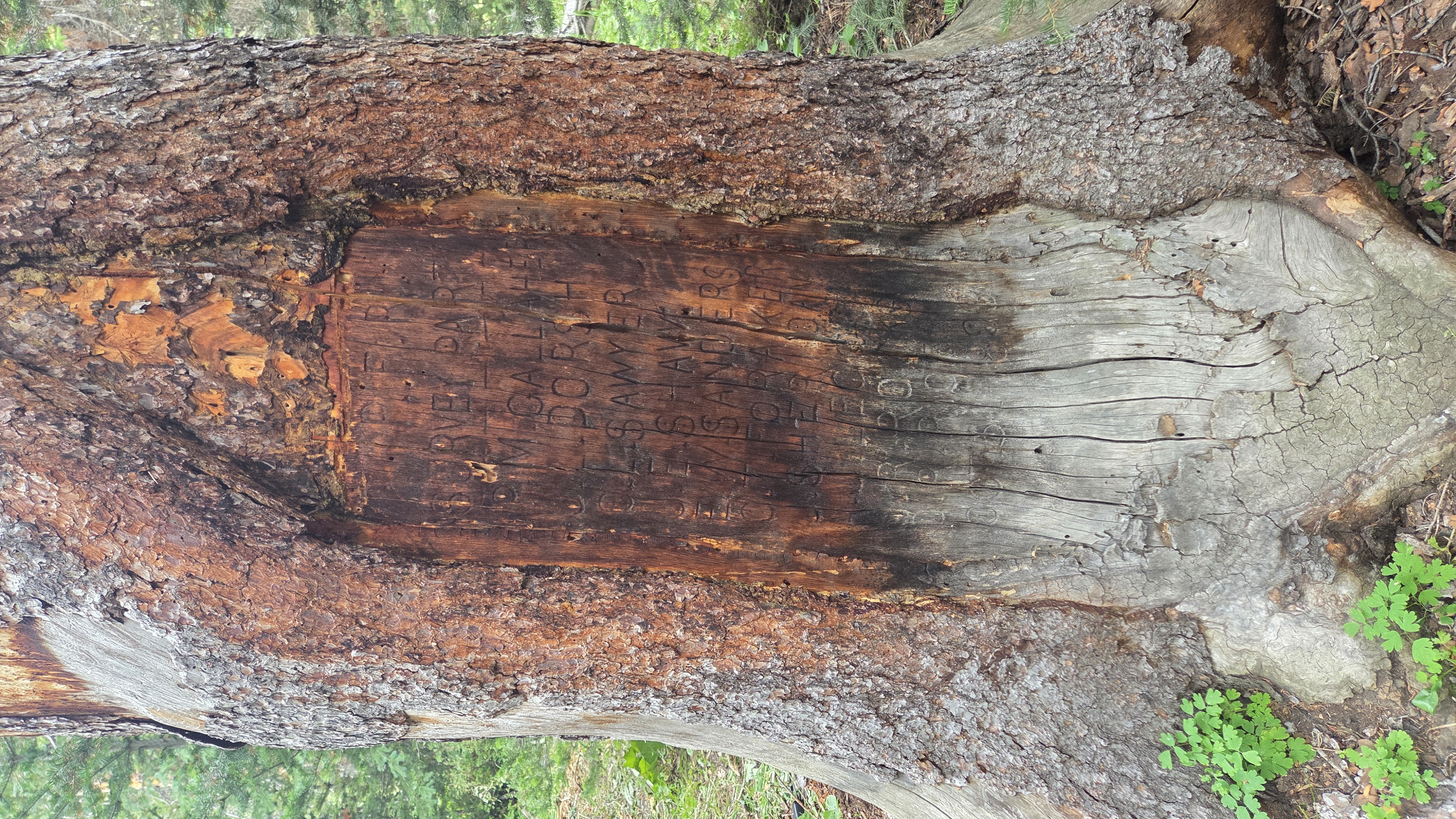
The four trees at the site.
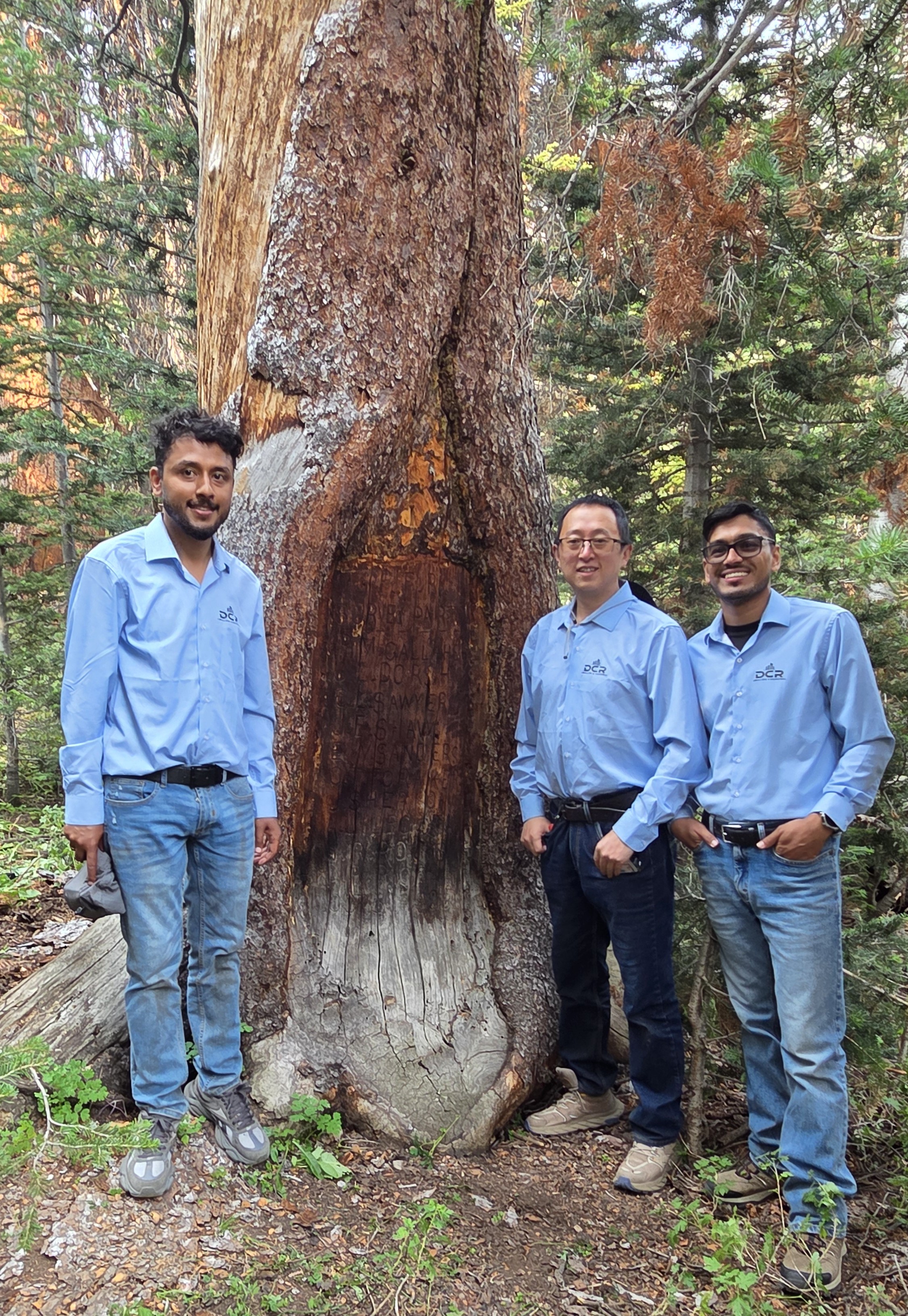
The team at work scanning the site (Left: Saksham, Center: Dr. Charlie, Right: Myself).
The next morning we headed out. Lee stayed behind at camp, and his daughter Alex led us the whole way to the trailhead. Nearly twenty-three hours on a mule over those three days was its own kind of pain, even with everything else the trip had given us. From the trailhead we drove toward Casper, and even that stuck with me, crawling along in the dark with deer standing all down the edge of the highway. We got into Casper on the 10th, worn out and finally back to roads, lights, and a working phone.
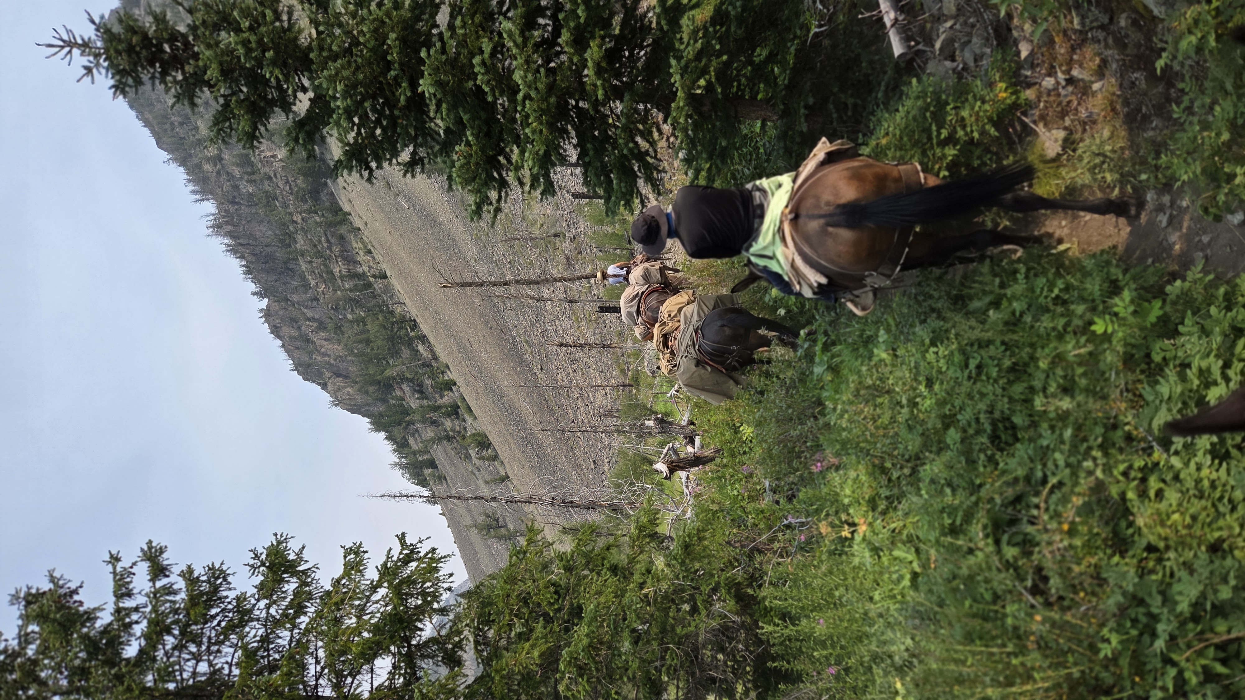
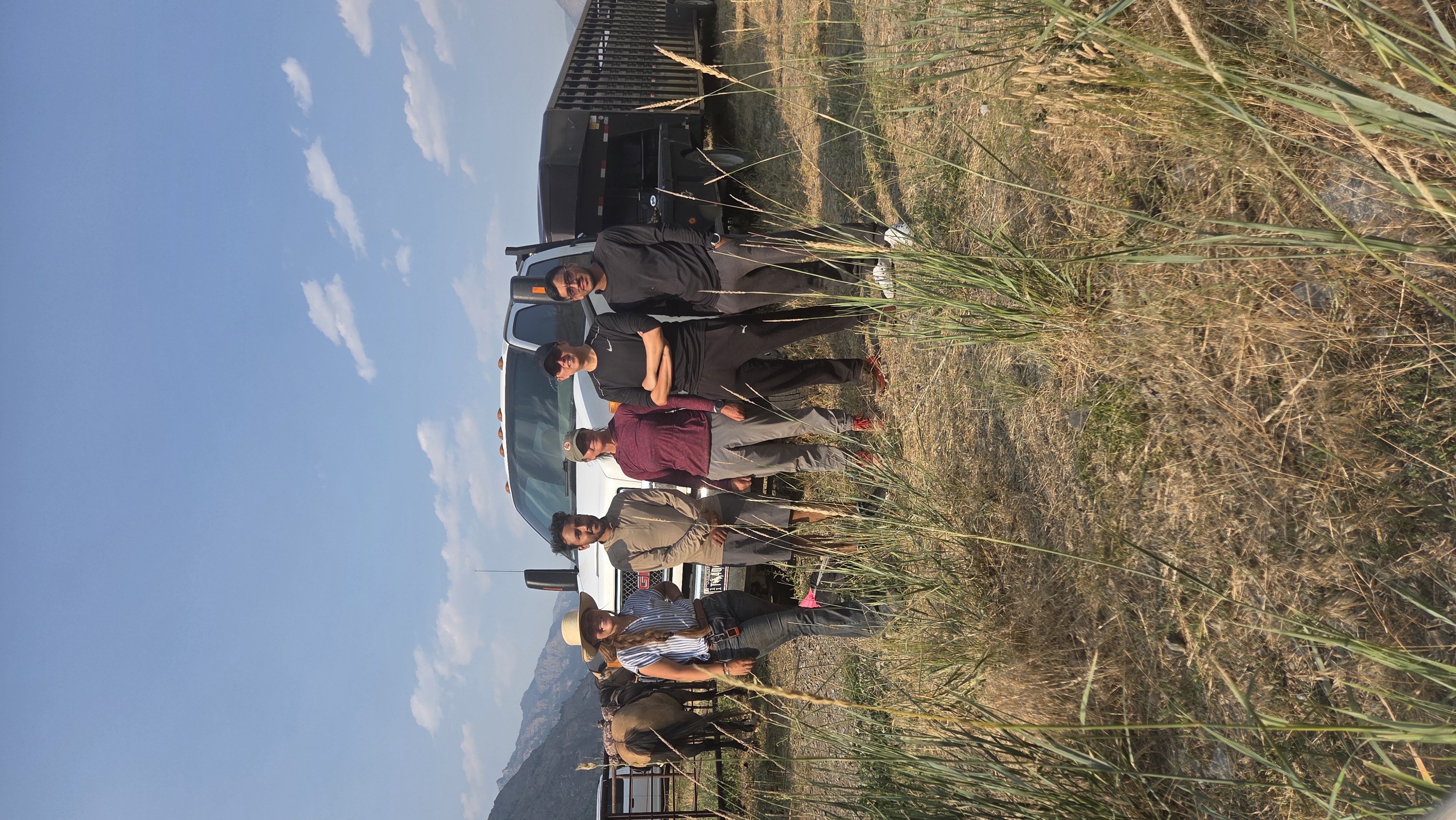
Alex leading the way out, and the final photo taken at the trailhead with the team (From left: Alex, Saksham, Dr. Charlie, Prof. Marcia, and myself)).
What I keep coming back to is the work behind that whole way of living. The outfitters know those trails by heart, handle the animals every day, and spend most of their time miles from anyone, and none of it looked hard to them even when the country was steep, remote, and rough. For us it was a three-day trip. For them it’s just the job, day in and day out.
I owe the animals credit too. My mules, Ridley on the way in and Sandy on the way out, kept steady footing the whole time, and the dogs who came along on the trail and around camp, Rubi and Hoot especially, made the hard days easier.
I am grateful to the people who made this happen: my advisor Dr. Zhang, for all the talks we had, for those long days in the field and for coordinating with the Park Service and the State to make this documentation trip happen; Saksham; Prof. Marcia, for all the experiences and memories; and Lee, his crew, and Mark’s family, for the horses, the help, and the company that turned a hard job into a memory I will keep for good.
The main tree will not be out there much longer. There is a plan to cut out the section with the names and bring it down to a museum in Cheyenne, so people can see it up close instead of losing it to the weather. One day, you might get to stand in front of it yourself. And even after the wood is gone, the scans we collected will go toward a detailed 3D model of the trees, so there will still be an exact record of what stood there, down to the carving itself.
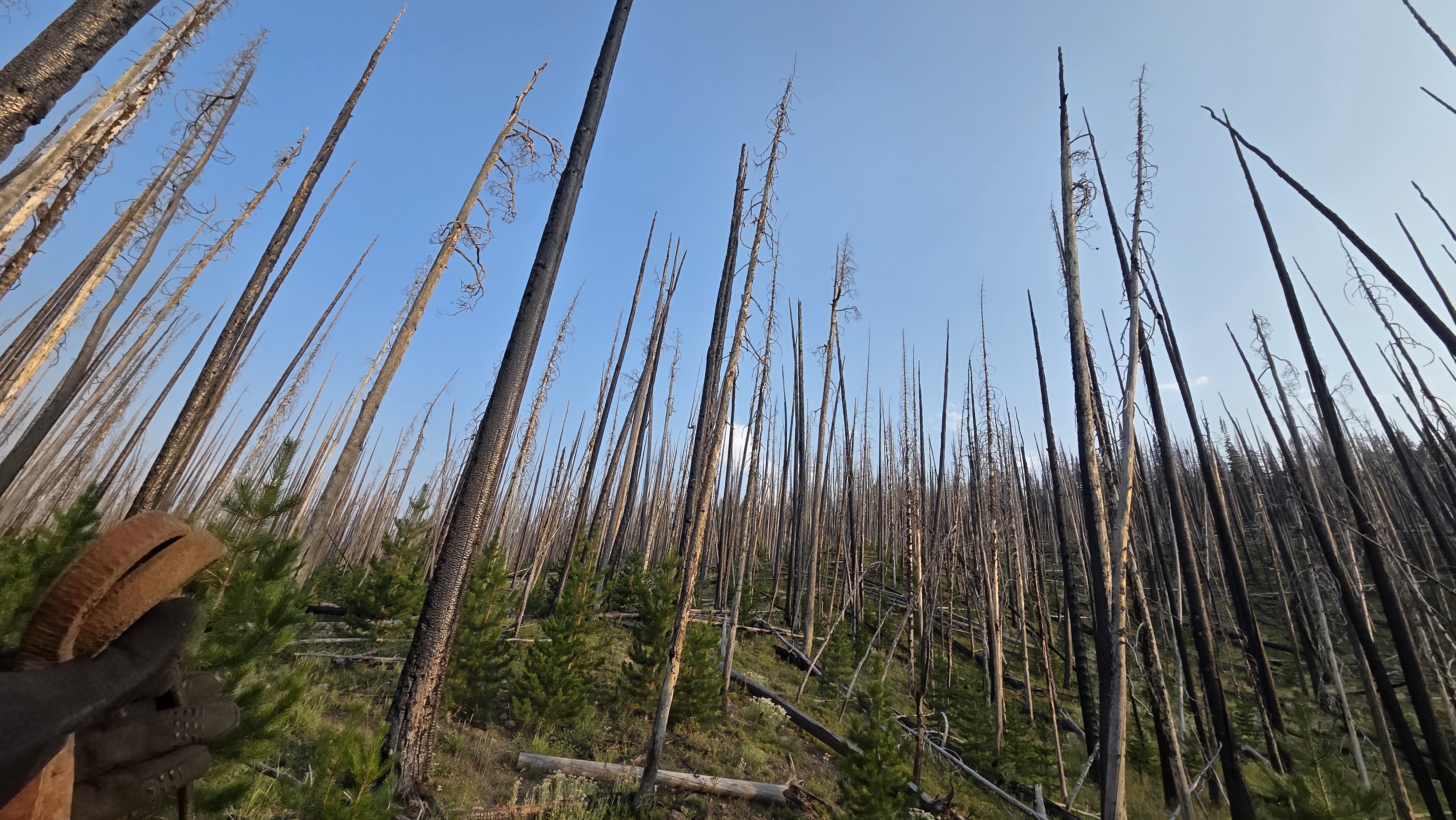
Burned forest, and the new growth already coming up beneath it.
Leave a Comment